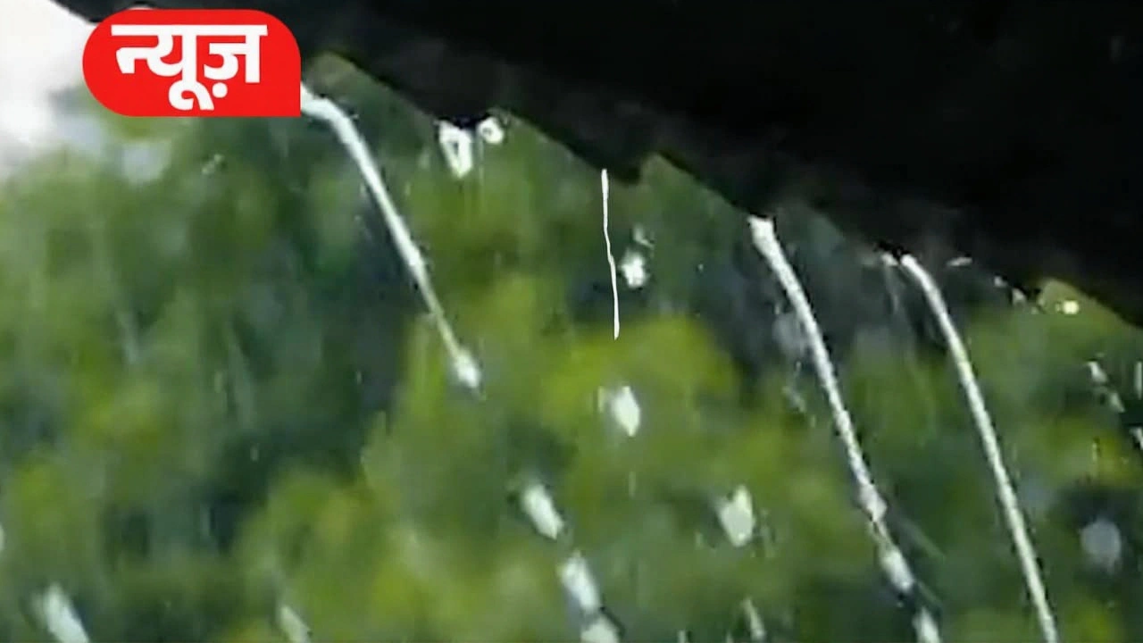
Half of June has vanished, yet the much-awaited monsoon rains remain stubbornly absent across large parts of India. Instead of relief, citizens are grappling with oppressive humidity and soaring temperatures that show no signs of breaking. The situation is particularly dire for farmers who are holding off on sowing, waiting for a rain pattern that experts say is running significantly behind schedule.
While scattered showers have offered fleeting moments of respite, they’ve often been followed by a return to stifling heat. This isn't just uncomfortable—it’s disrupting daily life and threatening agricultural timelines. Here’s what’s happening on the ground and why meteorologists are watching closely.
The Stalled Monsoon Front
According to recent analysis from Skymet Weather, the western boundary of the monsoon has remained static since June 8. On June 14, there was still no forward movement in the northern limit of the rain-bearing clouds. The system traced a line through Baripada and Paradip in Odisha, moving through Purulia in West Bengal, Dhanbad in Jharkhand, and reaching Muzaffarpur in Bihar.
Normally, by mid-June, the monsoon should have penetrated deeper into North India. Experts expected it to cover Uttar Pradesh, Bihar, Jharkhand, Madhya Pradesh, Gujarat, and Chhattisgarsh by June 15. Instead, the progress has been sluggish. In central and western regions, the advance is notably slower than historical averages.
"The details are still unclear regarding exactly when the front will break," notes one analyst. "But the stagnation is unusual for this time of year."
National Rainfall Deficit
The numbers paint a concerning picture. As of June 10, nationwide rainfall was recorded at 24% below normal levels. While states like Kerala, Goa, and the southern Konkan region received adequate precipitation, other critical areas lagged significantly.
Maharashtra, Madhya Pradesh, Telangana, and Andhra Pradesh saw substantial deficits. In some interior locations, total accumulation hovered between just 5-6 millimeters, with isolated spots recording up to 13 mm. That’s barely a drizzle compared to what crops need.
AVM (Retd.) G.P. Sharma, President of Skymet Meteorology & Climate Change, highlighted these discrepancies in a recent podcast. He pointed out that while Kerala enjoyed good rains, major agricultural belts were left dry. "It’s not a good situation," he stated, warning that the next few days would likely see continued low rainfall unless the system accelerates.
Impact on Daily Life and Agriculture
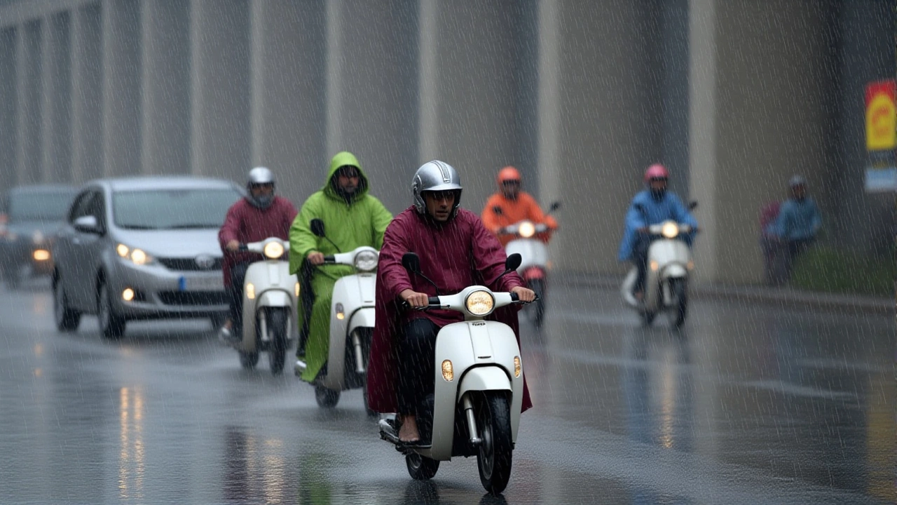
For ordinary citizens, the lack of rain means more than just sticky weather. In Delhi-NCR, winds gusting up to 60 km/h accompanied light showers on June 11 and 12, but the temperature drop was minimal. Humidity levels spiked, making outdoor activities miserable.
Farmers face a tougher reality. Without sufficient moisture, sowing cannot begin safely. Agricultural experts advise waiting for consistent monsoon onset before planting seeds to avoid crop damage from initial dry spells. This delay pushes back the entire harvest cycle, potentially affecting food supply chains later in the year.
In Karnataka, specifically the Chamrajnagar district and northern parts, rainfall was described as "significantly below normal." These aren’t minor variations—they’re gaps that can devastate yield expectations.
What Experts Are Predicting
Despite the current lull, forecasts suggest changes may be on the horizon. For Mumbai, where the average monsoon arrival date is June 11, Sharma predicted an onset around June 15, plus or minus one day. Historically, this date shifted from June 10 to June 11 in recent years, reflecting gradual climatic shifts.
Social media updates and local reports indicate potential rain activity starting around June 28 in Delhi, Uttarakhand, Punjab, and Haryana. Weather scientist Naresh Kumar discussed rising humidity in Delhi as a precursor to incoming rains, suggesting that the heavy air mass might finally release its stored moisture soon.
However, caution remains key. The India Meteorological Department (IMD) has issued alerts urging the public to monitor official bulletins closely. With record-breaking heat feared in eight states including Uttar Pradesh and Bihar, any sudden shift could bring both relief and risks like thunderstorms or localized flooding.
Frequently Asked Questions
Why is the monsoon delayed this year?
Meteorologists attribute the delay to stagnant atmospheric conditions and weak pressure gradients over the Indian Ocean. The western monsoon boundary has remained static since early June, failing to push inland as quickly as historical averages dictate. This results in reduced rainfall penetration into central and northern regions.
How does this affect farmers?
Farmers are advised to wait for consistent rains before sowing to prevent seed rot or crop failure due to initial dry spells. Delays in planting push back harvest times, which can disrupt market supplies and income cycles. States like Maharashtra and Madhya Pradesh are particularly vulnerable given their reliance on timely monsoon arrivals.
When will Mumbai get its monsoon?
Experts predict Mumbai’s monsoon onset around June 15, slightly later than the usual June 11 average. There is a margin of error of plus or minus one day. Residents should prepare for potential fluctuations in timing based on real-time weather updates from the IMD.
Is the heatwave dangerous?
Yes, prolonged high temperatures combined with high humidity pose health risks, especially for outdoor workers and elderly populations. Eight states, including UP and Bihar, are under alert for record-breaking heat. Staying hydrated and monitoring official weather warnings is crucial during this period.